The QueensWay Metropolitan Hub
Queens, NY
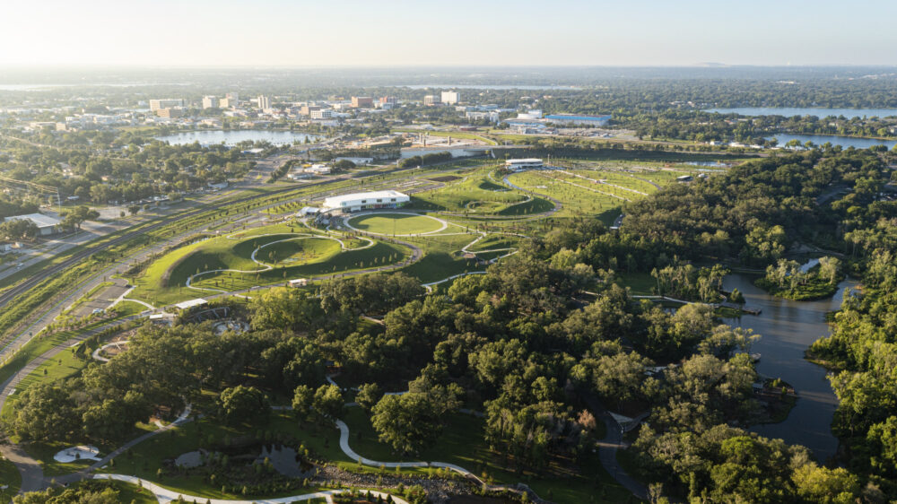
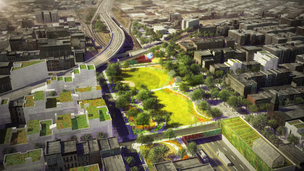
The history of modern land development in Queens can be traced back to the myriad rail lines that crisscrossed open tracts of land in the late 19th and early 20th centuries. The QueensWay transforms one of these lines into a new public open space corridor.
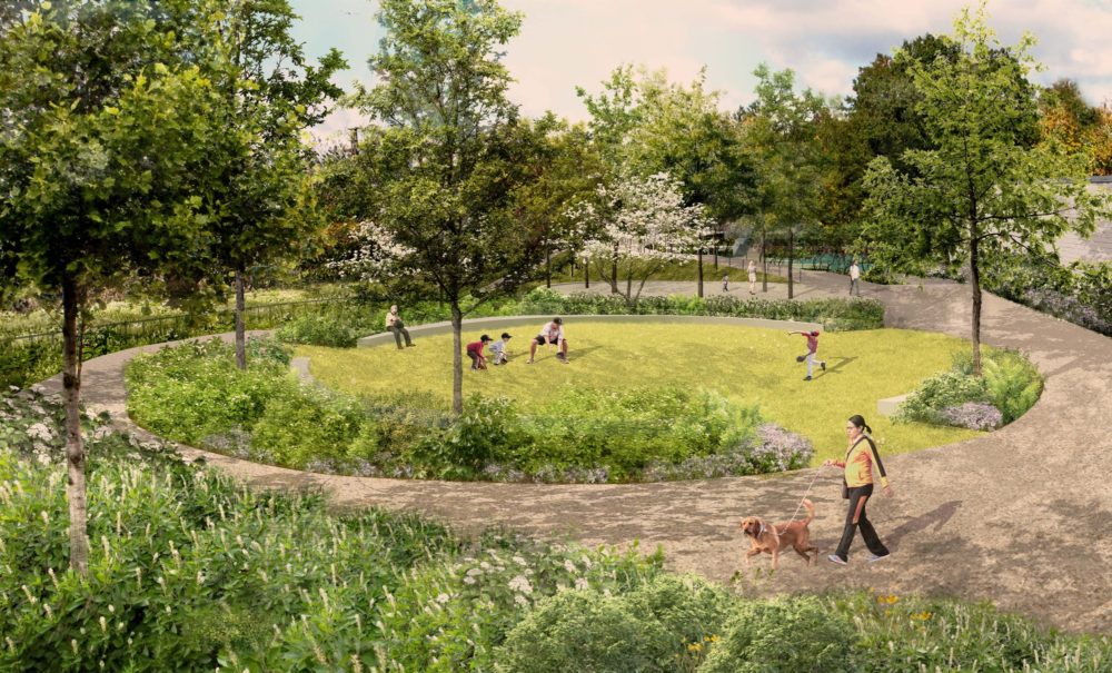
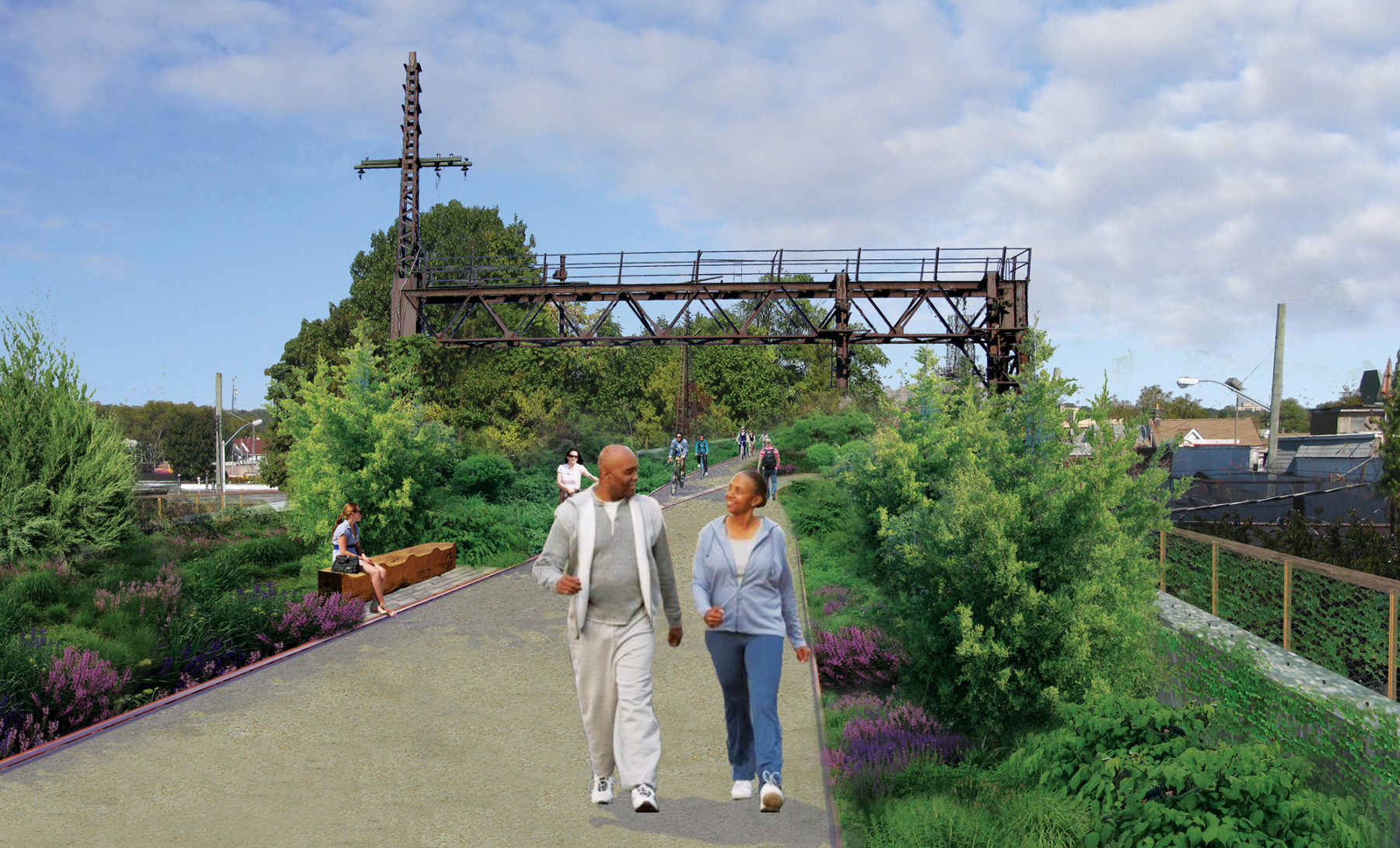
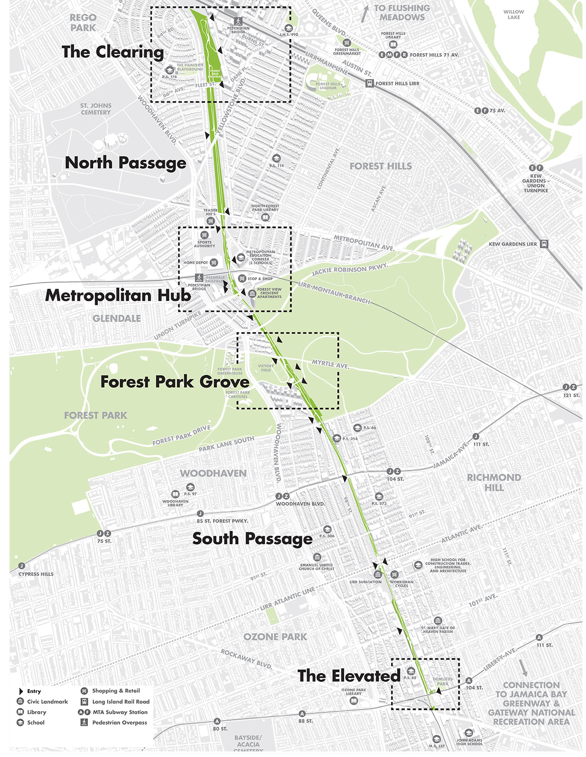
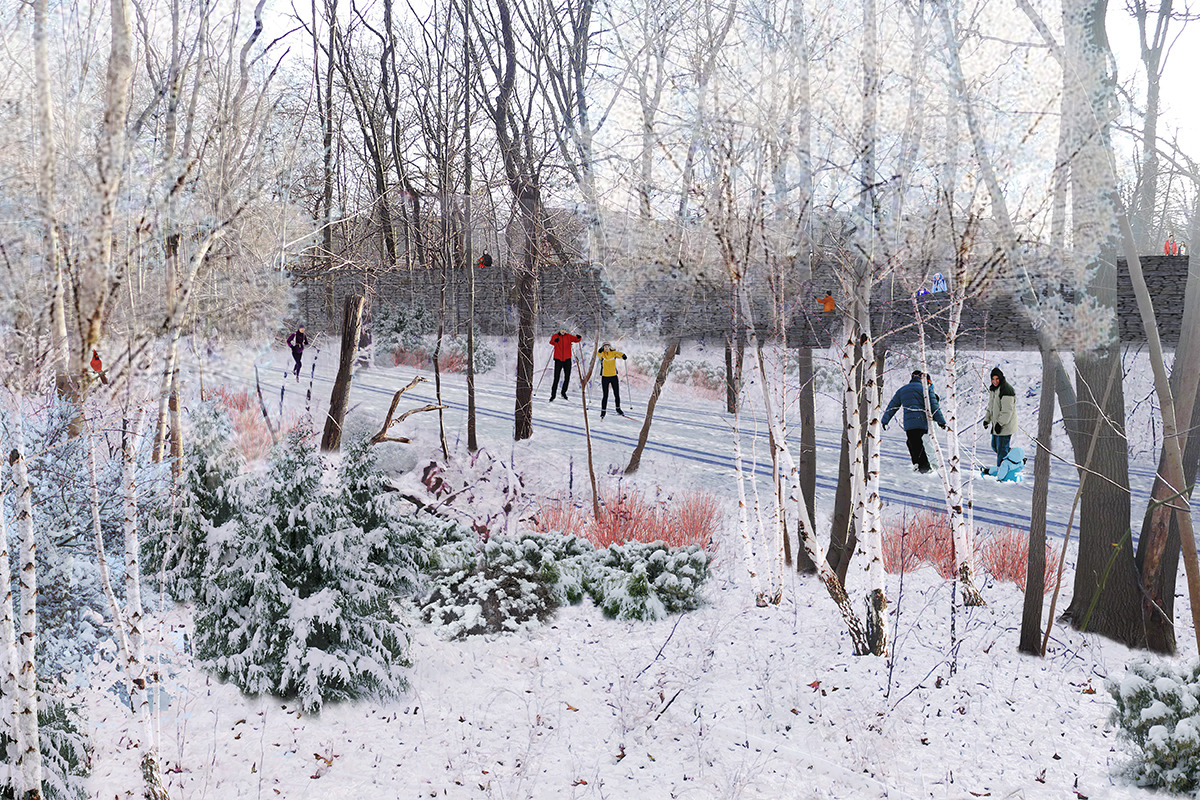
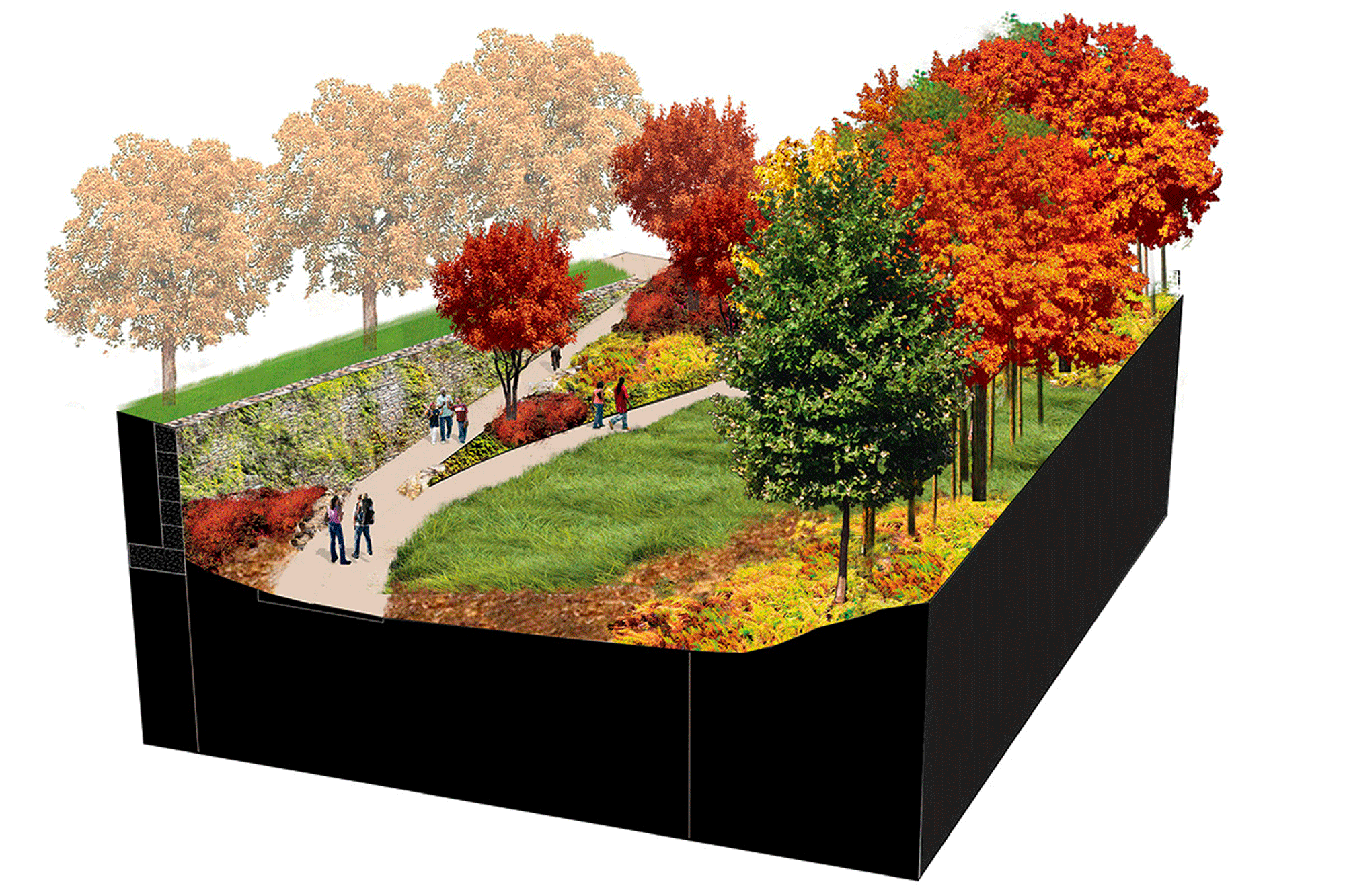
Along the 3.5-mile length, the former right-of-way transforms from an elevated embankment to a ravine to an elevated steel viaduct. The adjacencies along the QueensWay also vary, with little league fields along the northernmost end; big box stores, residential neighborhoods, and a public park in the middle; and crossing train lines, commercial corridors, and parking lots to the south.
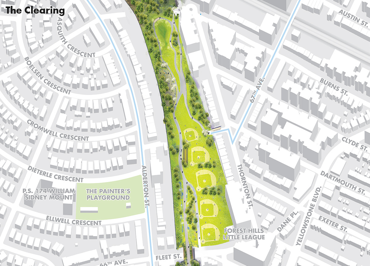
The Clearing
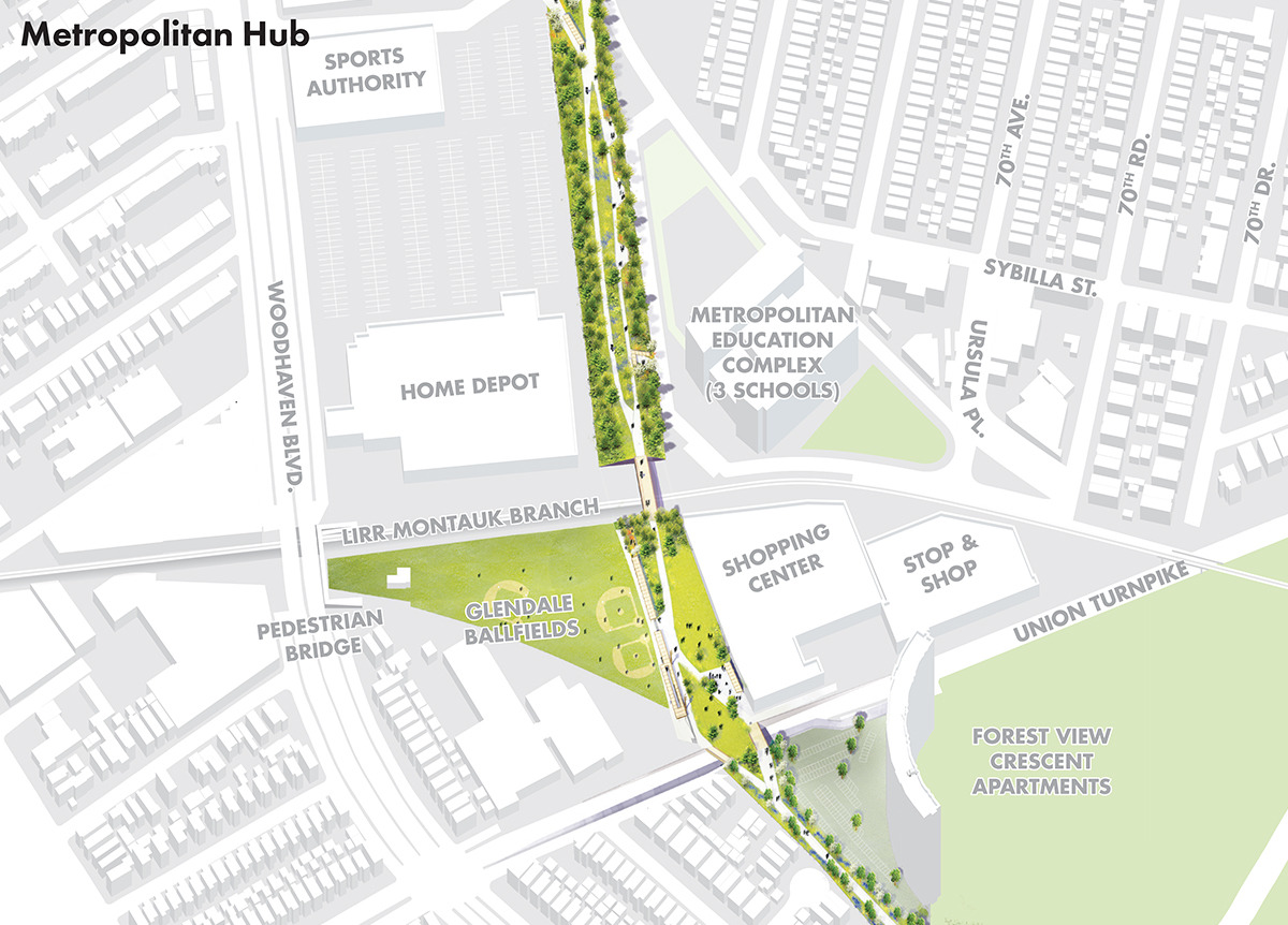
Metropolitan Hub
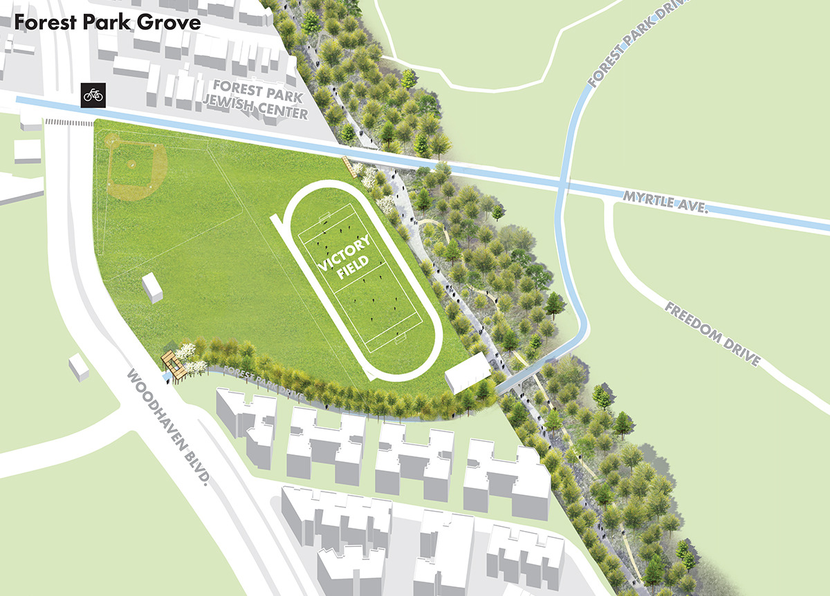
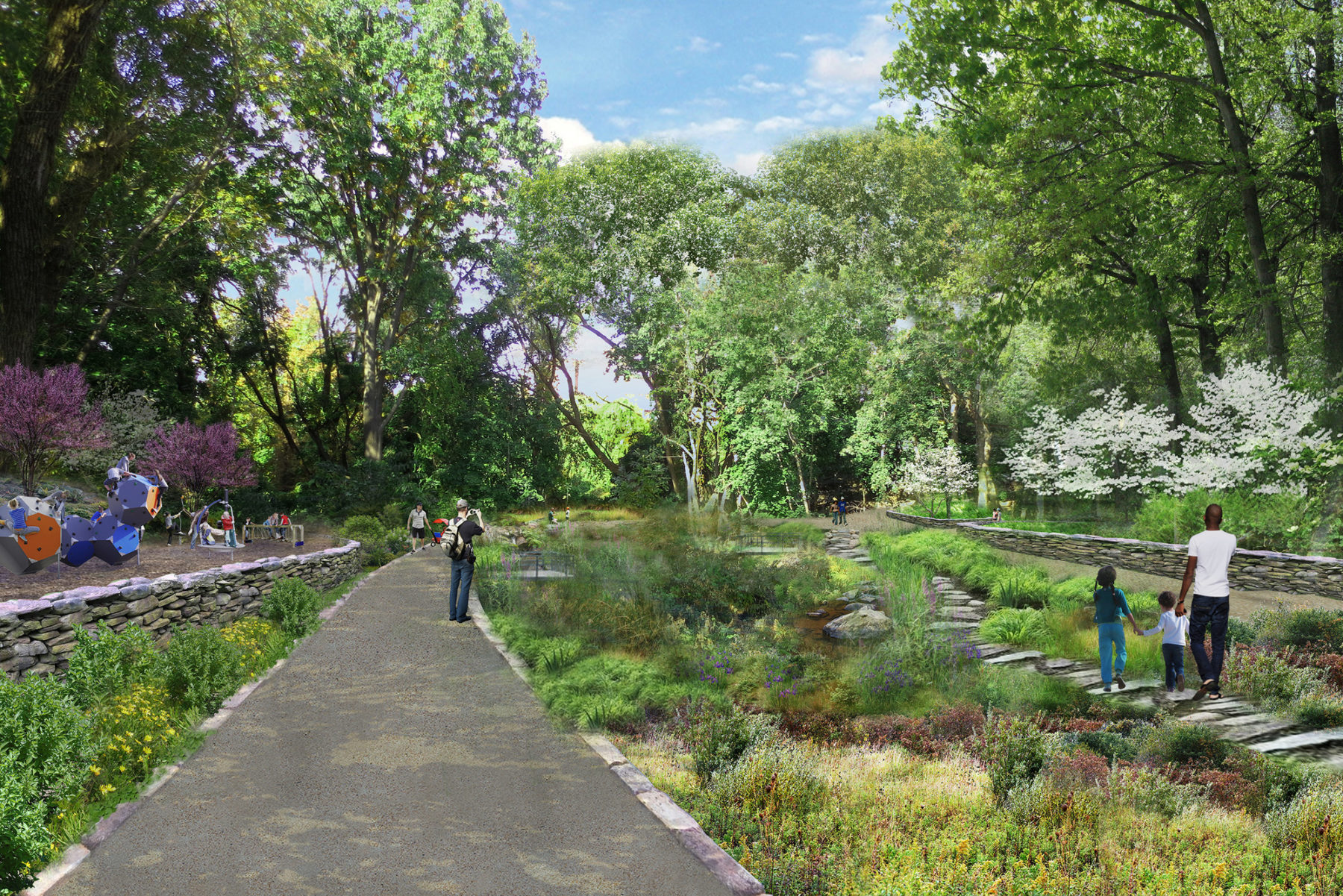
Forest Park Grove
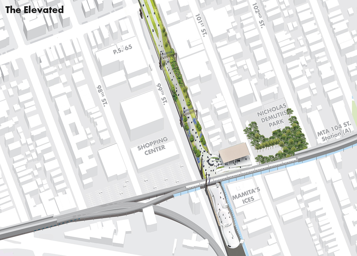
The Elevated
The Clearing
Metropolitan Hub
Forest Park Grove
The Elevated
The three main segments of the QueensWay—northern, central and southern—each have their own physical character which shapes the relationship to the surrounding communities in terms of vistas and enclosure, natural and urban experiences along the route. As a result, the issues related to safety, security, and privacy of adjacent properties are directly tied to how the former railway line moves through the landscape.
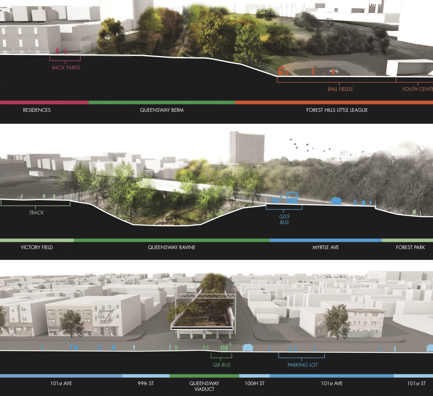
Existing conditions
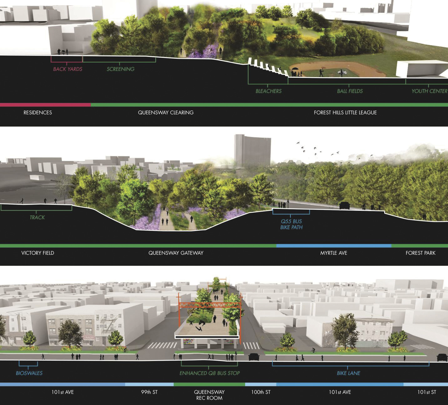
Proposed design solutions
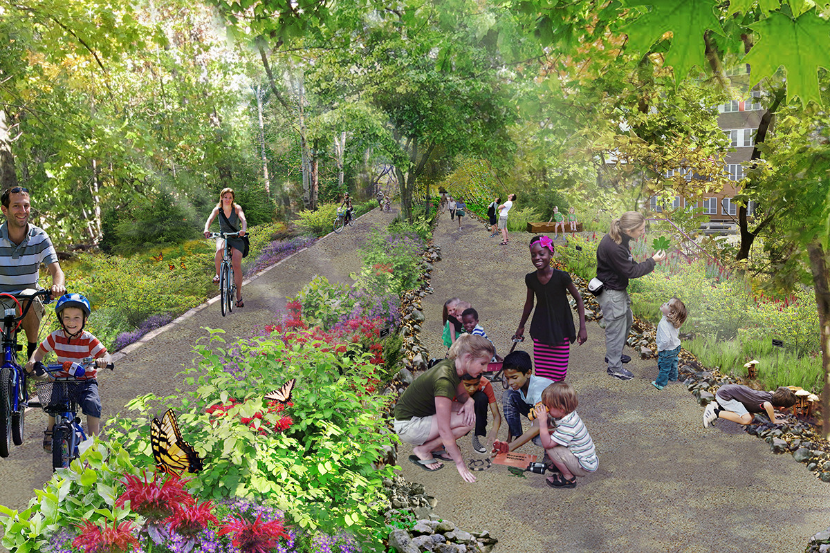
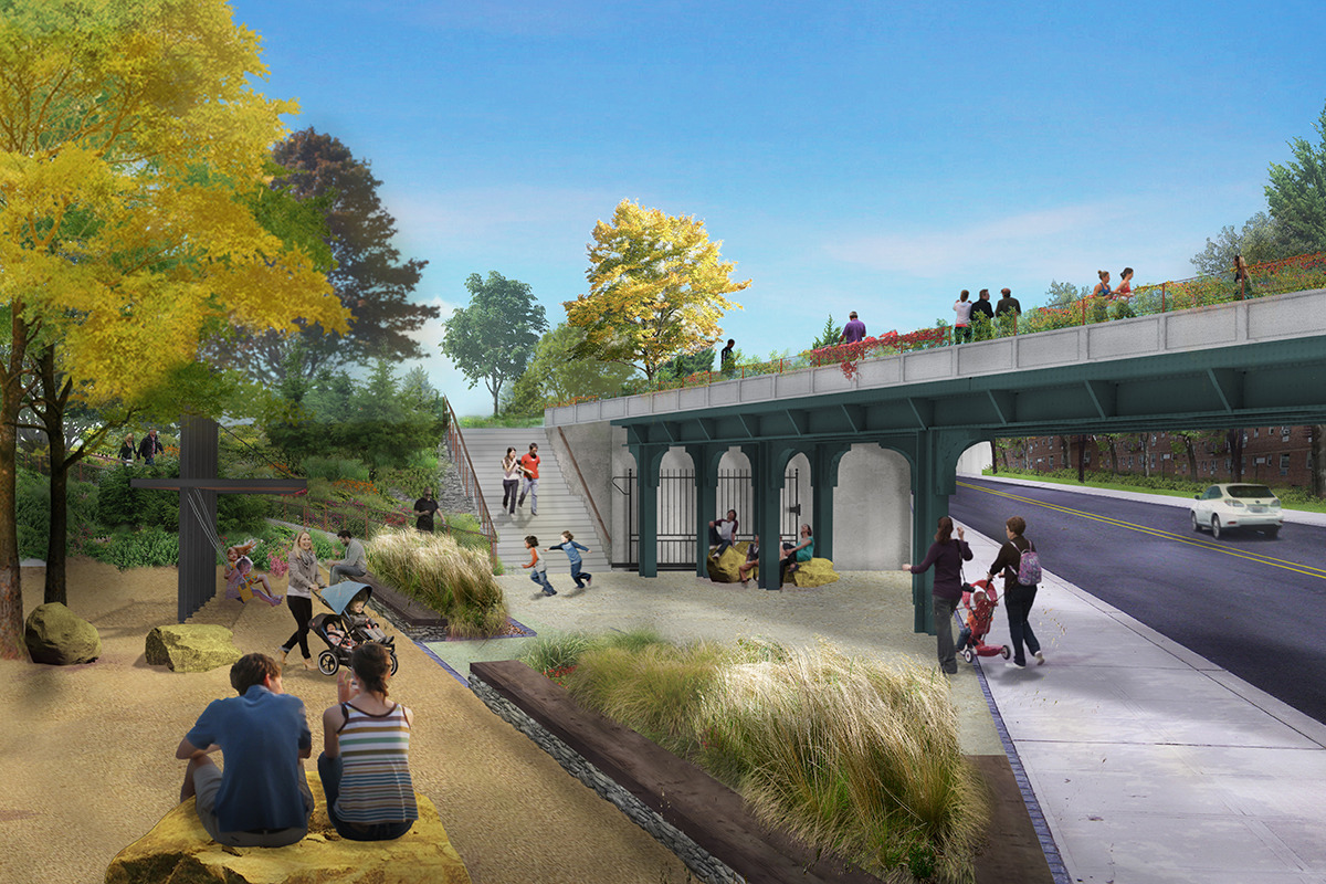
A quiet presence in the city, the QueensWay is currently camouflaged by school-bus parking, overgrown vines, industrial activity, and limited access. Once transformed, it has the potential to be a singular recreational and ecological amenity for the community.
For more information contact Susannah Drake.